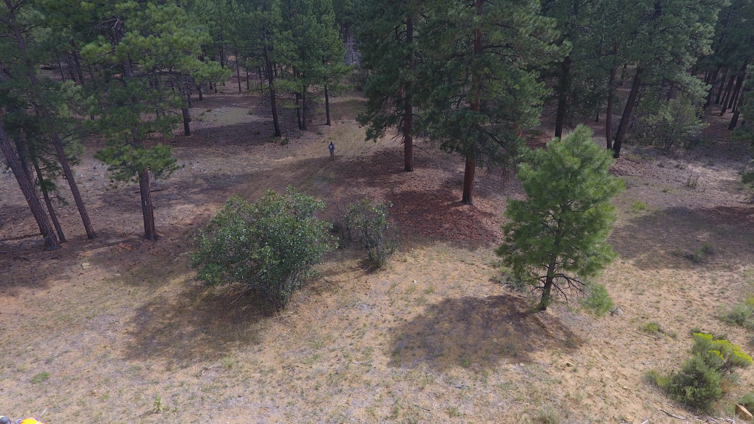
Inventories by Air
At Habitat Management we bring you the latest utilization of technology advances. From coal mines, natural gas pipelines, and municipalities, drone use brings your large scale projects cost effective solutions. Our pilots hold a FAA Remote Drone Pilots license and are experienced in developing flight plans that meet your sights needs.
SURVEY INVENTORIES
The potential is limitless with our certified drone pilots, applications include:
- Orthomosaic Feature Rendering
- Natural Gas Pipeline Mapping
- Erosional Feature Source Detection
- Stormwater BMP Planning
- Wildlife Habitat and Population Assessment
- Noxious Weed Detection
- Pre and Post Construction Topography
- Volumetric Calculation
- Post Flight Imagery Processing
- Flight Plan Consultations with Your Pilots


