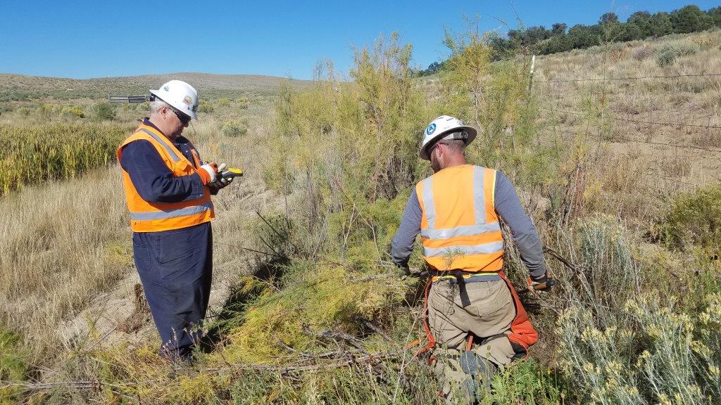
Plotting Your Projects: Surveys, Maps, Data
Habitat Management brings you 35 years of experience creating, converting, analyzing and mapping GIS data. HMI combines GIS, Remote Sensing and GPS technologies to provide cost effective and custom solutions to our clients. HMI delivers solutions that begin with field data collection and end with a fully functioning geodatabase and everything in between from existing imagery integration to deigning and organizing your geodatabase.
APPLICATIONS
- Geodatabase Management
- CAD Data Conversion
- Imagery Acquisition
- Imagery Analysis and Classification
- Remote Sensing
- Normalized Difference Vegetation Index (NDVI)
- Noxious Vegetation Mapping and Analysis
- Grid Pattern Analysis
- Soil Mapping
- Network Analysis
- Spatial Analysis
- Environmental Sensitivity Analysis
- 3D Modeling
- Large Scale Map Production
- Groundwater Plume Mapping
- Aquifer Sensitivity Analysis